
Launch Location
-8.366, 115.132
About this Launch Point
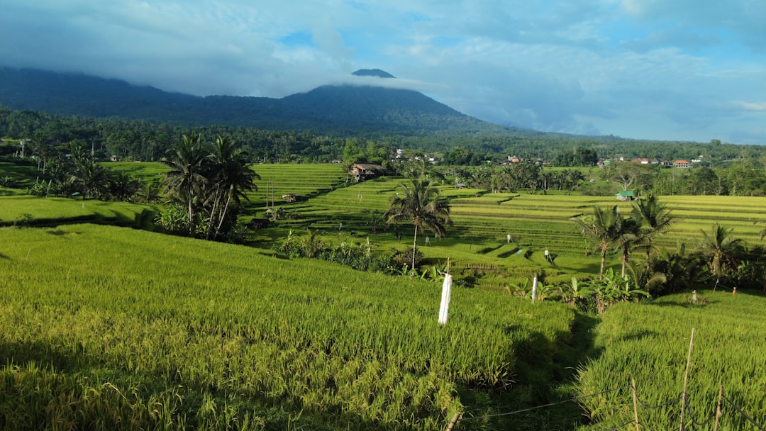
The narrow dirt path that winds between the paddy walls through the terrace system, used by farmers and trekkers. Following this trail from low altitude — with the drone flying just above the path between walls — creates an immersive ground-level perspective of the terraces.